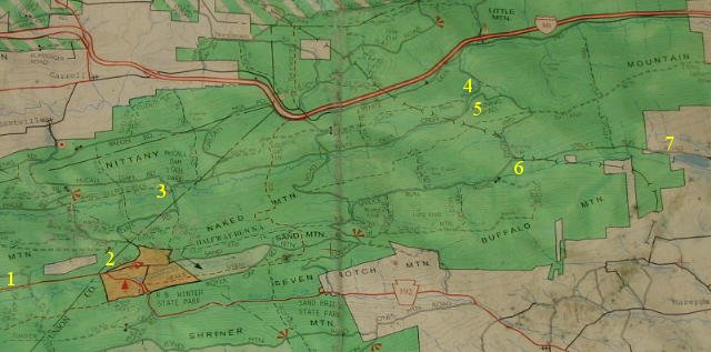
I was the lead rider and using a GPS for directions to the rally site. A surprise awaited near the end of the journey.
We were heading east on highway 192 at point 1 on the map below. The GPS said to turn left onto McCall Dam Road at point 2, so I did. At first the road was paved and then a short distance later it turned into hard packed gravel. Ok, no problem. Jerry and I have both ridden on gravel many times.
At point 3 the GPS said to turn right onto White Deer Creek Road. More hard packed gravel, but no problem, so we continued.
After some time on this road I noticed my GPS had quit updating, most likely due to the dense foliage. And the road quality was getting progressively worse. At point 4 Jerry pulled alongside and said his GPS had indicated we should have taken the spur at point 5. So we backtracked and took that road, Running Gap Road.
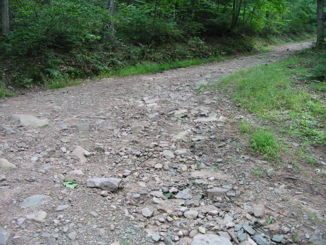
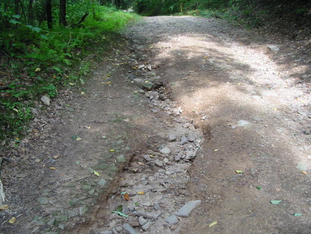
The term "road" was only loosely correct - it was more like a goat trail that went down the side of the mountain. It eventually came out on Spruce Run Road at point 6, and we followed it to the rally site at point 7. This was definitely the back entrance!
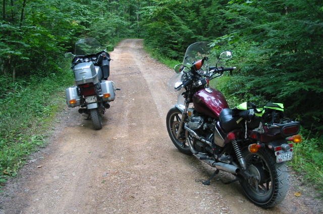
The following photos show Running Gap Road. This would have been a good one
for off-road riding, but not for our street bikes.
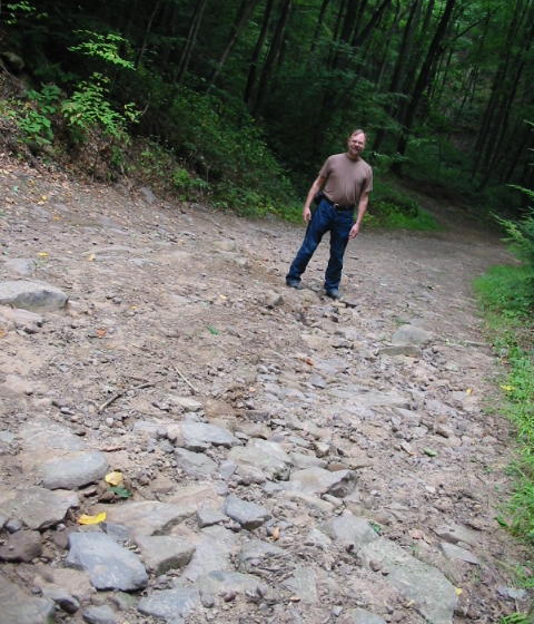
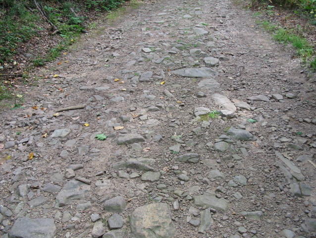

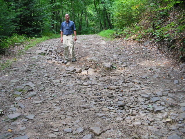
Somehow we managed to navigate this road unscathed, with the possible exception of our nerves. A few minutes later we arrived at the rally site.