Starting Location: Mt. Pisgah, NC
Ending Location: Lawrenceville, GA (home)
Daily Miles Ridden: 249
Cumulative Miles Ridden: 5266
This Day's Route: Blue Ridge Parkway south to its end at Cherokee NC
[3], Hwy 19 south to Blairsville GA [7], Hwy 76 east to Trackrock Gap Rd [9],
several backroads to Hwy 180, Hwy 180 west to Hwy 19, Hwy 19 south to Hwy 129,
Hwy 129 south to Hwy 52, Hwy 52 west to Lula GA [10], Hwy 23/I-985 south to
I-85, I-85 south to near home, several smaller roads to home [12].
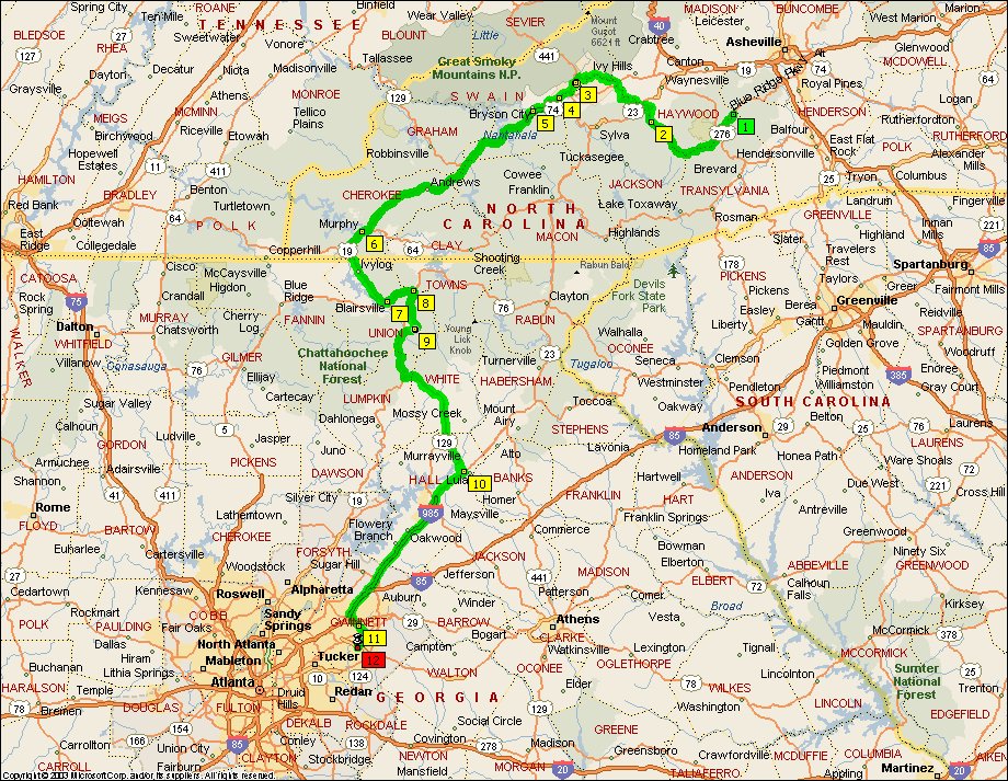
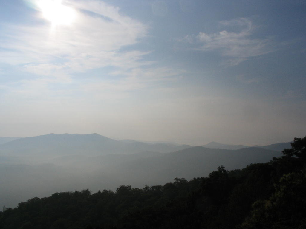
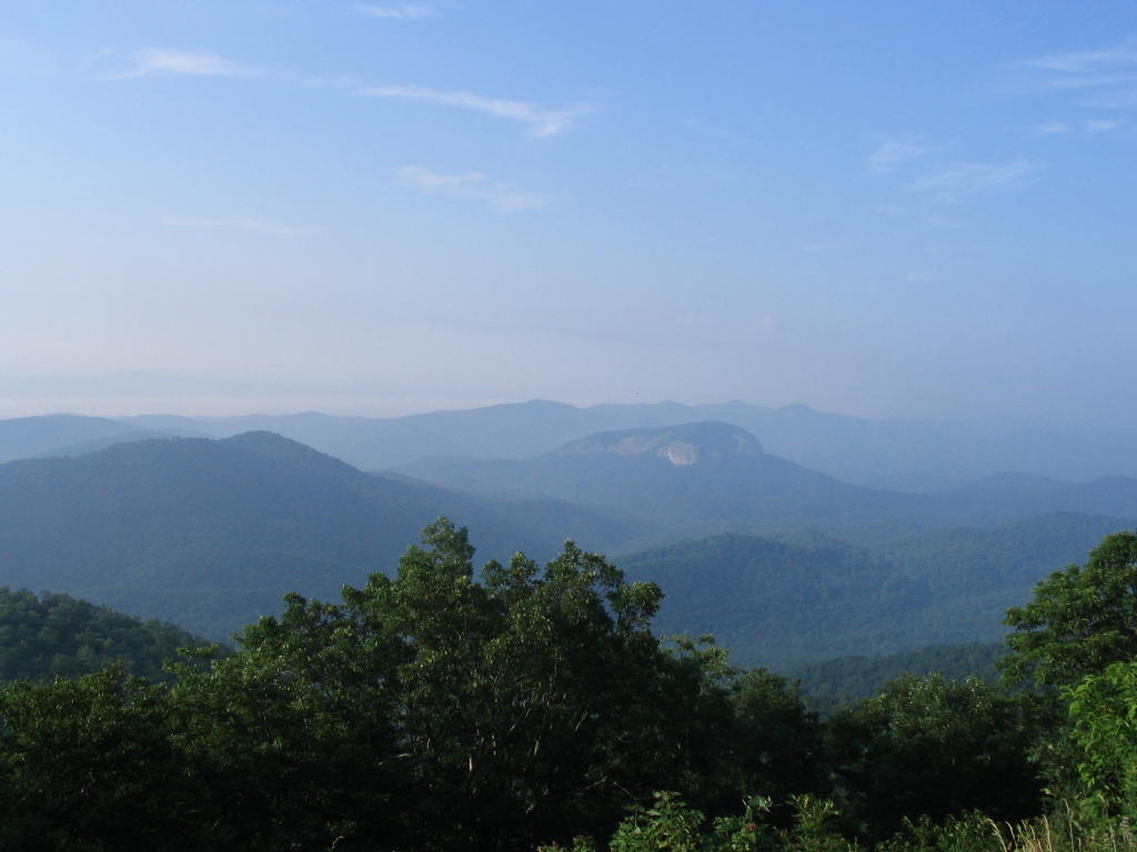
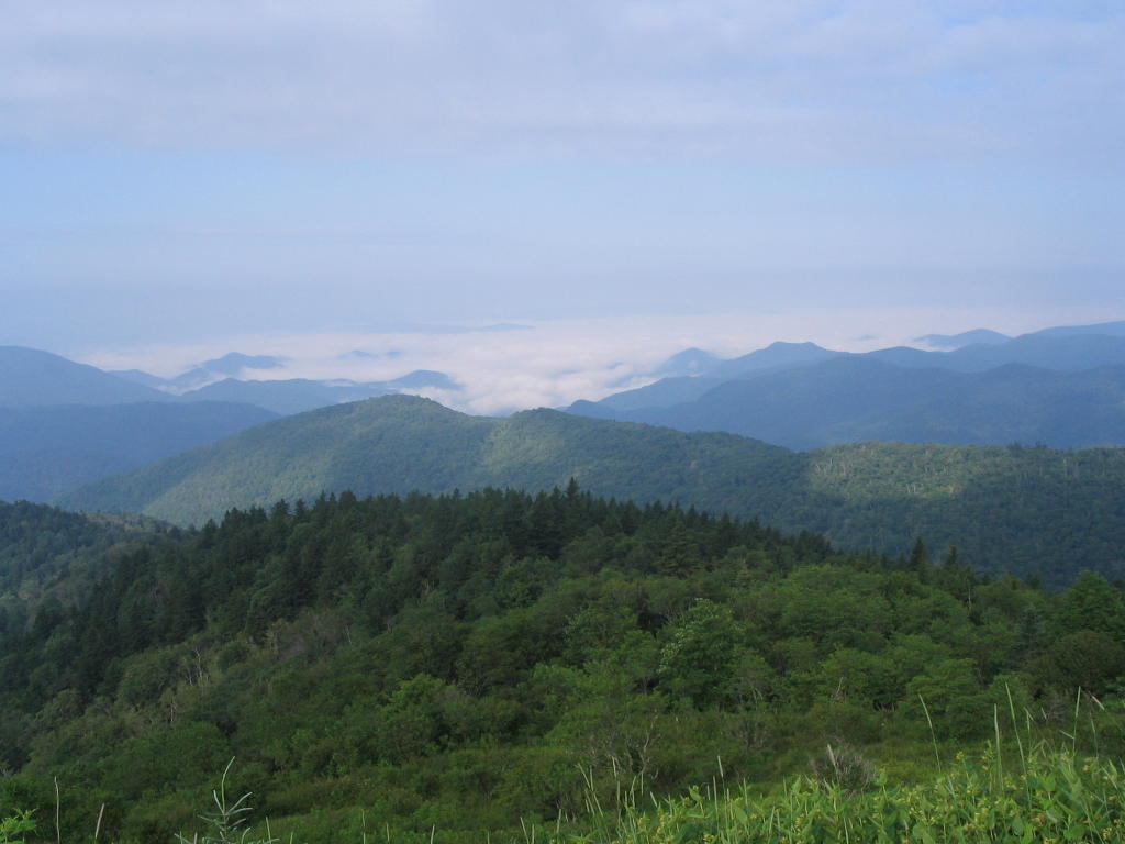
Here are a few final photos of the Blue Ridge Parkway.

After completing the Parkway I was surprised at how hot it was out of the mountains. For quite a few days I had been riding in temperatures in the 80's and lower, and the transition back to the upper 90's came as somewhat of a shock.
I've taken highways 23 and 441 between home and Cherokee, NC quite a few times so I decided to try highway 19 through Blairsville, GA for a change. I stopped for lunch in Blairsville.
Afterwards I enjoyed a leisurely (but hot) ride the rest of the way home.